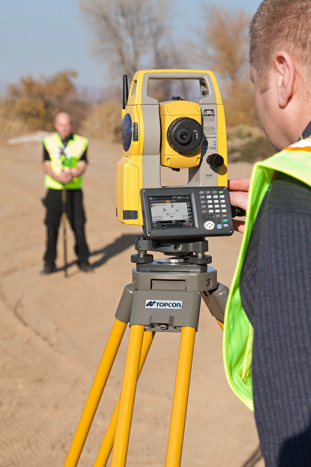
Where GNSS signal is obstructed (dense urban areas, under tree cover, or near tall structures), our team deploys Total Station instruments for detailed topographic detailing, leveling, cross-sectional surveys, and setting-out (construction layout) work. This includes road centerline and cross-section surveys, building and infrastructure setting-out, as-built surveys of completed works, and detailed leveling for drainage and irrigation design.
otal Station survey complements our RTK GNSS capability — we select the right instrument for each site condition to ensure accuracy requirements (typically ±3–5mm vertical, closing error within 0.02m) are consistently met.