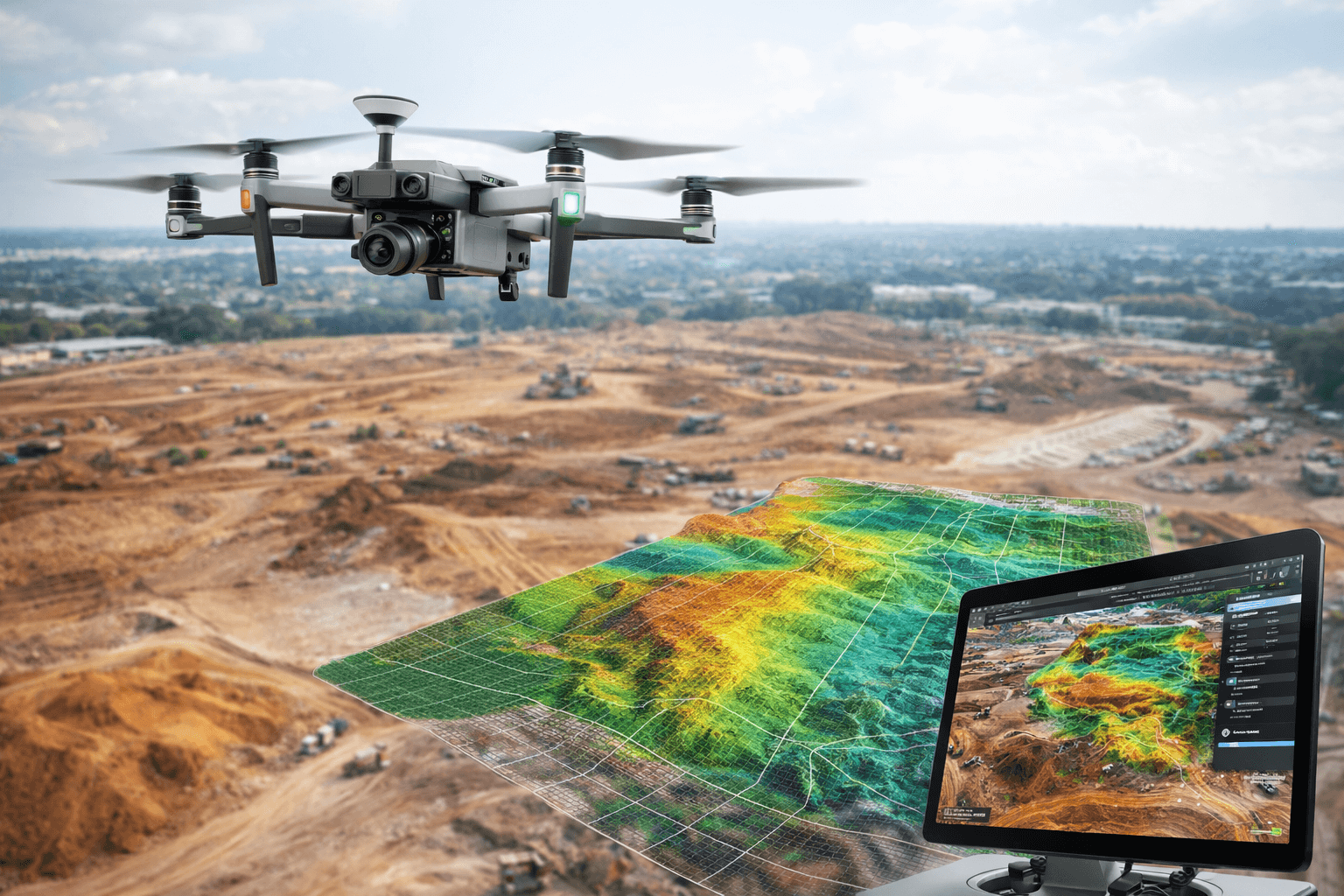
Bani Masoom offers UAV-based aerial survey and photogrammetry services for infrastructure planning, land development, and construction monitoring. Using drone-mounted high-resolution cameras and GNSS-tagged imagery, we generate orthomosaics, digital elevation models (DEMs), digital terrain models (DTMs), and contour maps for sites ranging from single plots to multi-village corridors.
Our drone survey workflow includes ground control point (GCP) establishment using RTK GNSS for geo-referencing accuracy, flight planning and execution, image processing in industry-standard photogrammetry software, and delivery of CAD-ready and GIS-ready outputs. This service is ideal for large-area topographic surveys (such as WASH and infrastructure corridor mapping), stockpile/volumetric measurement, construction progress tracking, and pre-feasibility site assessments where speed and large-area coverage matter.